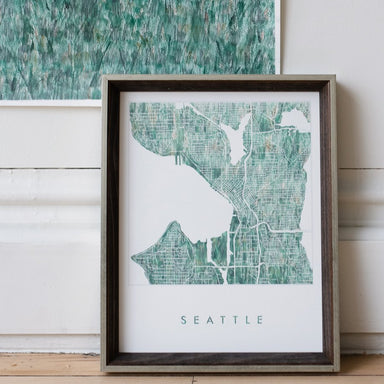
SEATTLE Urban Fabrics City Map: PRINT
from $26.00
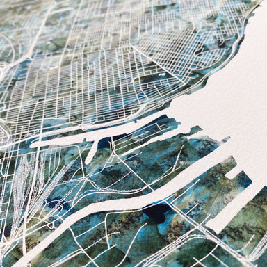
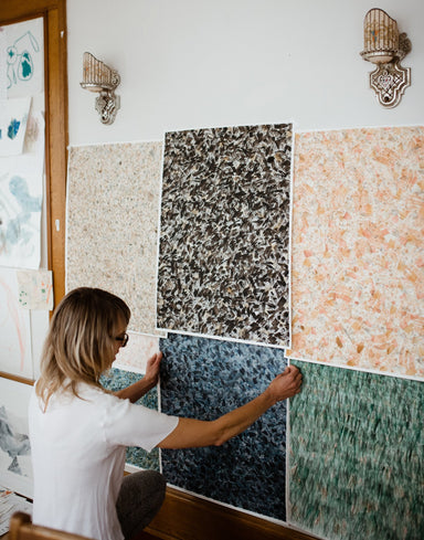
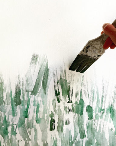
SEATTLE, Washington. This map drawing celebrates Seattle's unique city plan surrounded by the Puget Sound, Elliott Bay and Lake Washington, its inn...
View full details
from $26.00