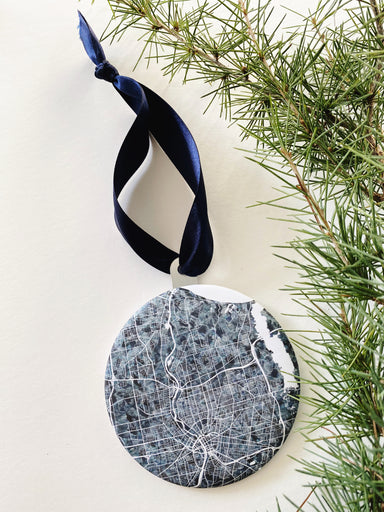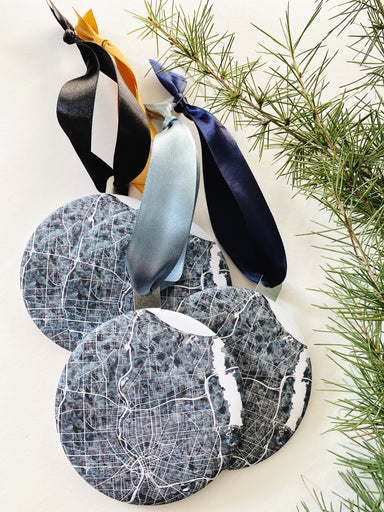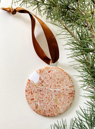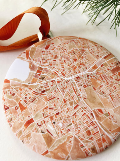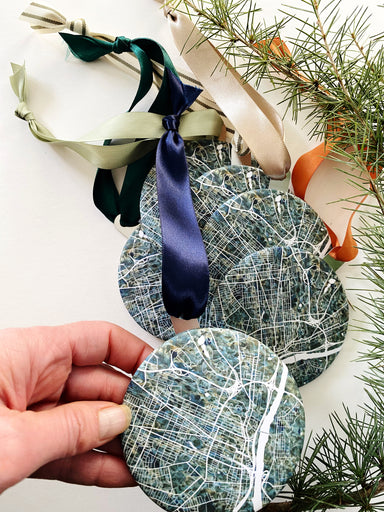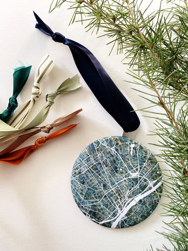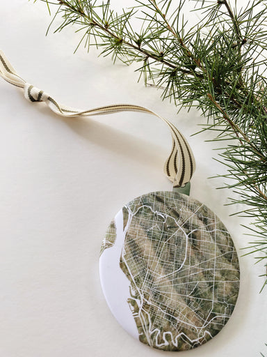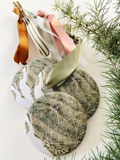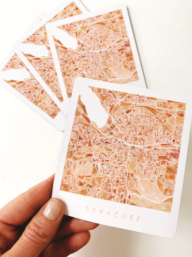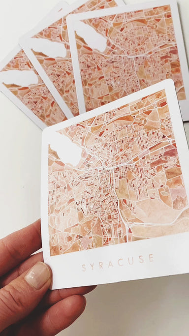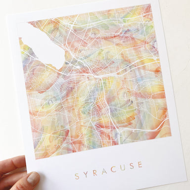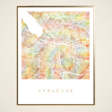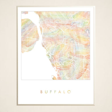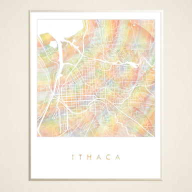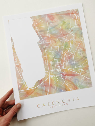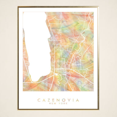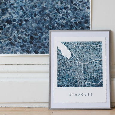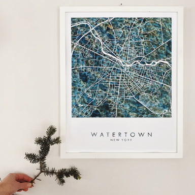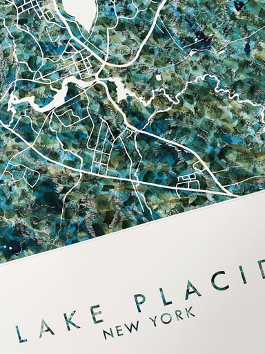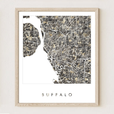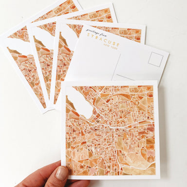
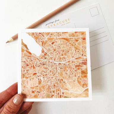
SYRACUSE New York Map Postcard
$5.00
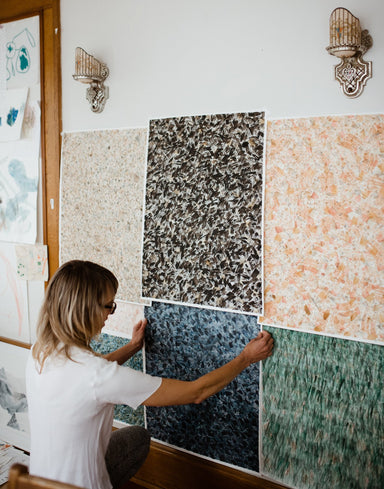
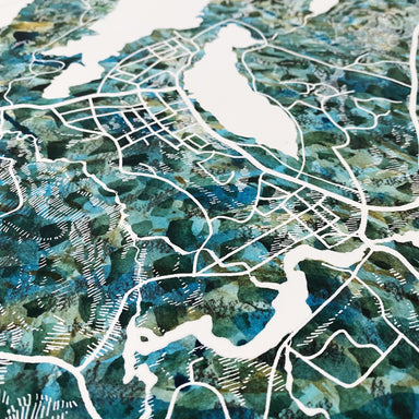
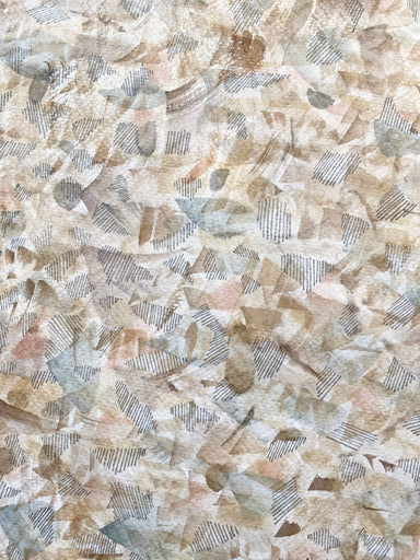
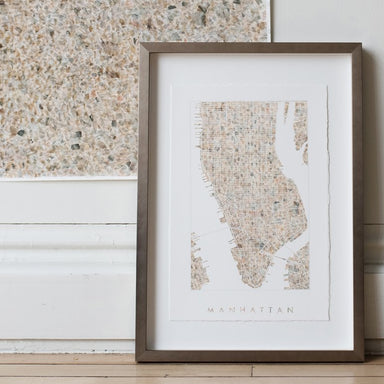
SYRACUSE! This is a POSTCARD of my original watercolor painting in earthy tones of orange, pink, red-orange and browns. Great as stationery for wed...
View full details
$5.00